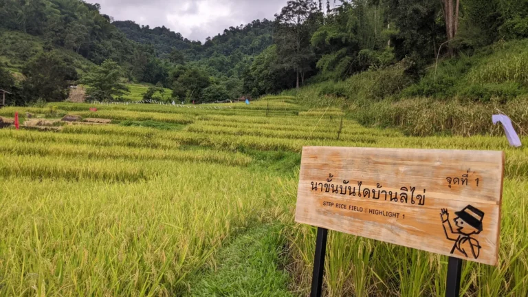

Doi Nang Mo Summit Hike: 7.9km Volcano Crater Trail Near Chiang Mai
Looking for Chiang Mai’s most challenging day hike? Doi Nang Mo Summit Hike in Mae Takhrai National Park delivers everything serious hikers crave—steep forest climbs, technical rope scrambles, an ancient volcano crater at 896 meters, and the satisfaction of conquering a trail that 90% of Chiang Mai tourists never even hear about.
I discovered this trail while researching alternatives to the overcrowded Monk’s Trail and Doi Suthep routes. Starting from Mae Pha Naen Reservoir just 30 kilometers east of Chiang Mai, the 7.9-kilometer loop gains 510 meters through pristine jungle to reach Doi Nang Mo’s summit—home to an ancient volcanic crater and Buddha statues with world-class views. This isn’t a casual temple hike; it’s a genuine mountain challenge that demands fitness, proper gear, and respect for the terrain
Technical Specs
📏 Distance : 7.9 km
📈 Elevation Gain : 510 m
🏔️ Max Altitude : 890 m
📉 Min Altitude : 390 m
⏱️ Duration : 4:00
Practical Info
📊 Difficulty : 🔴 Challenging
⭐ Scenery Rating : 4 / ⭐⭐⭐⭐ (Beautiful) / 5
📍 Nearby Town : Mae Pha Haen
This is the main hub and the starting area for this trail.
Interactive Trail Map & Elevation
Mae Pha Naen Reservoir & Starting Point
The Doi Nang Mo trail begins at Mae Pha Naen Reservoir, a peaceful body of water tucked into the hills about 30 kilometers east of Chiang Mai. This is the edge of Mae Takhrai National Park—a lesser-known protected area that sees a fraction of the crowds compared to Doi Suthep or Doi Inthanon.
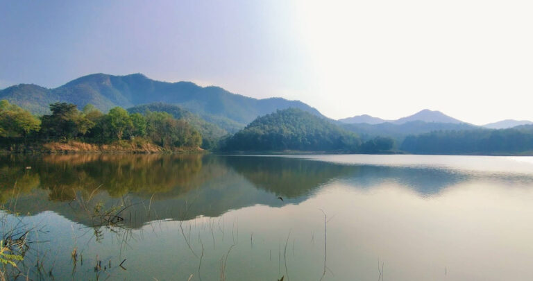
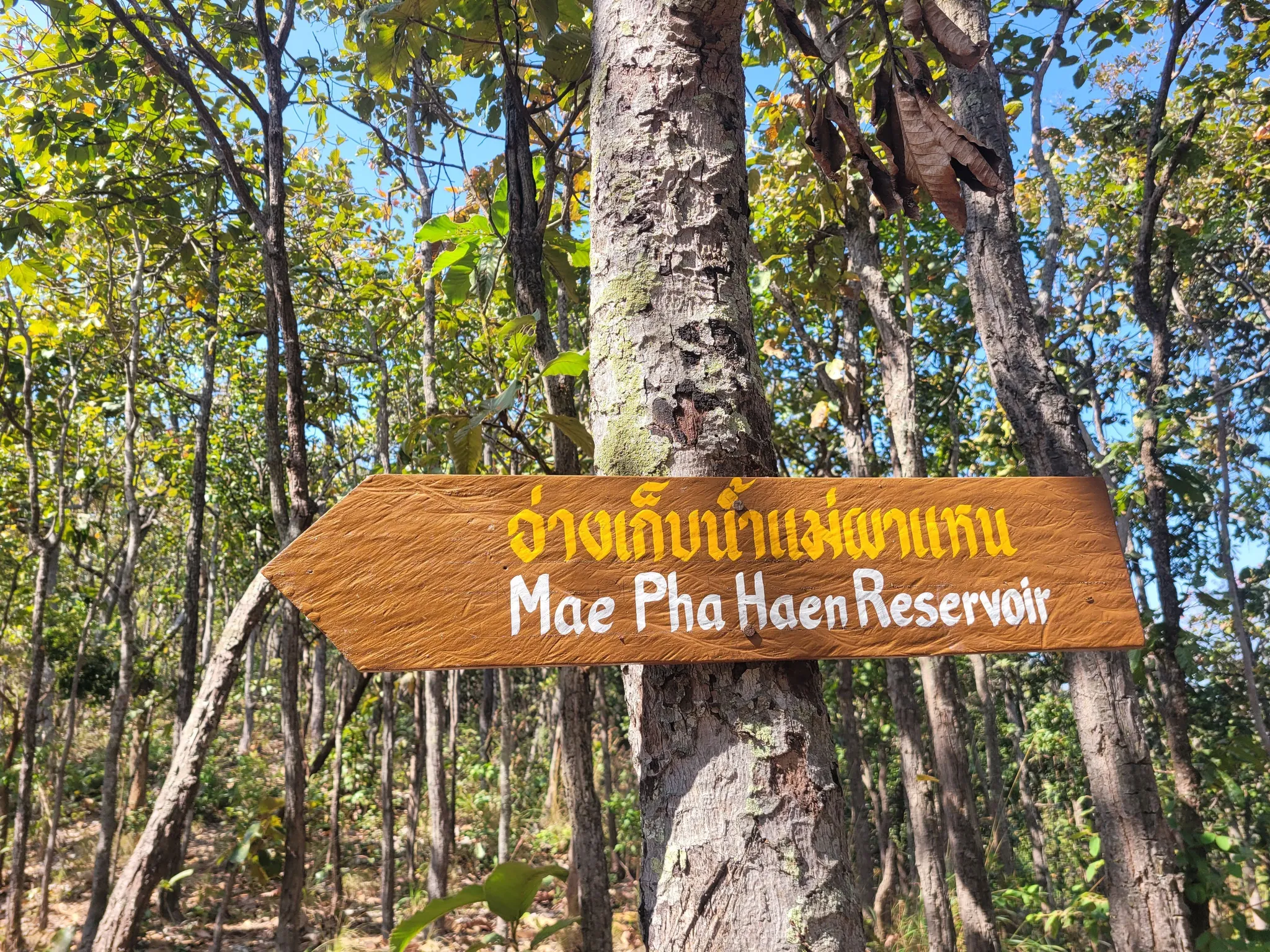
I arrived at the reservoir early morning to find a small parking area right at the trailhead. The setting is serene—water reflecting the surrounding green mountains, a few local fishermen casting lines, and the sound of forest birds echoing across the valley. Unlike the more famous trails around Chiang Mai, there’s no entrance fee, no visitor center, just a simple trail marker indicating the start of the Mon Jing Loop path to Doi Nang Mo.
Logistics & Starting Point:
- Parking: Free parking area directly at Mae Pha Naen Reservoir dam
- Facilities: No restrooms, no shops, no services—bring everything you need
- Water: Mandatory to carry 2+ liters—no refill points on trail
- Best Season: November-February (cool and dry); avoid March-May burning season when park access may be restricted and visibility poor
The trailhead is clearly marked near the reservoir’s edge. From here, the path immediately enters forest and begins climbing. There’s no warm-up section—the ascent starts right away.
The Brutal Ascent Through Dense Forest
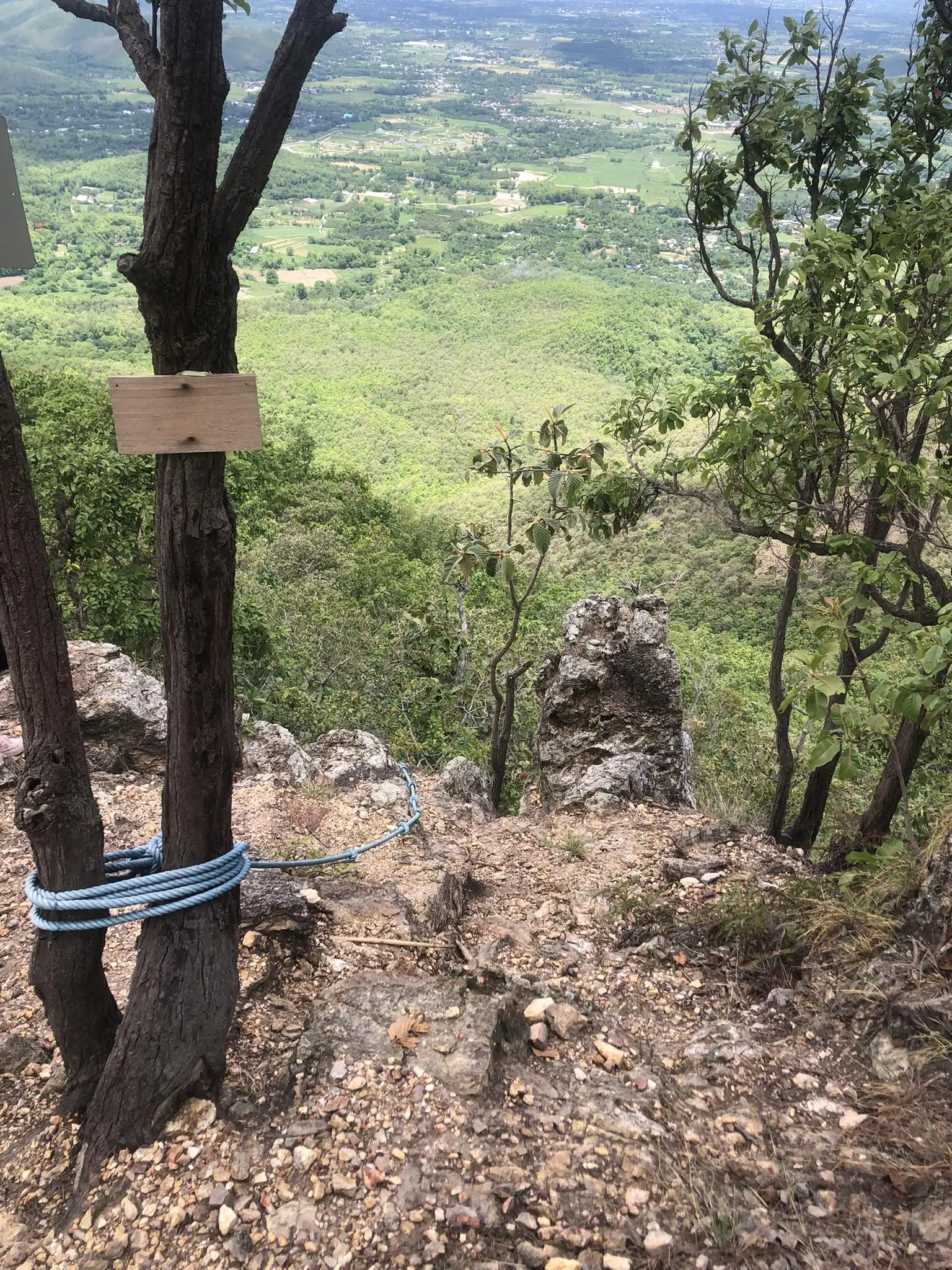
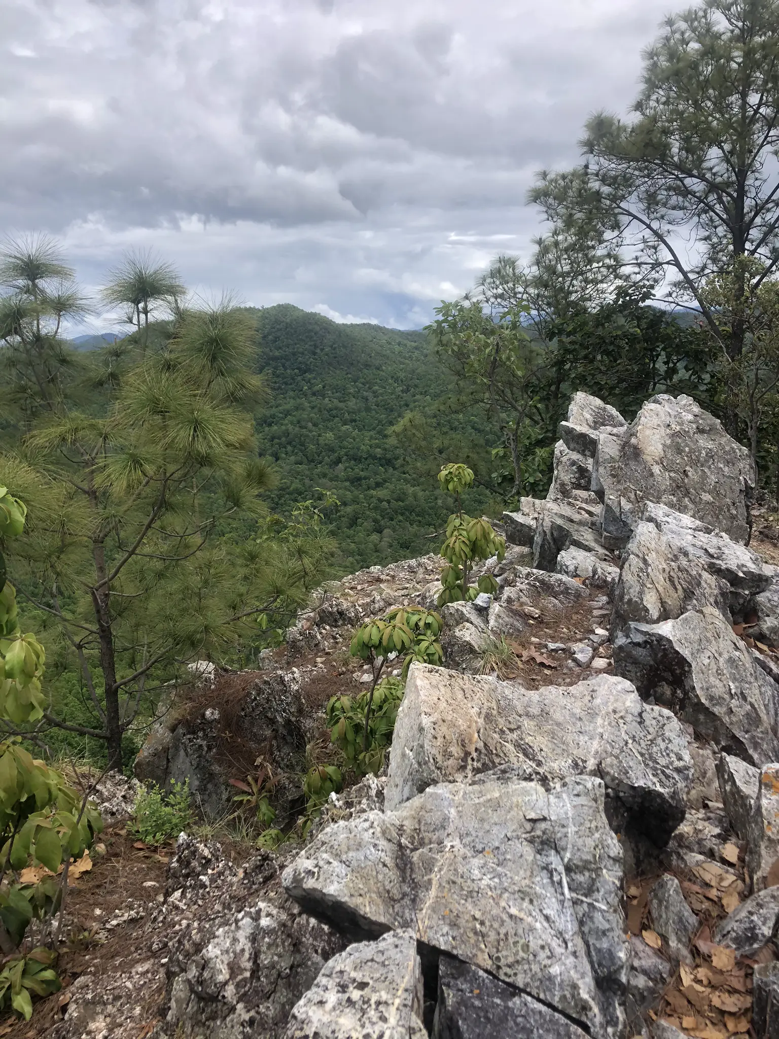
The first section of the Doi Nang Mo trail sets the tone immediately: steep, relentless, and humid. The path climbs through dense jungle canopy, gaining 510 meters of elevation over roughly 4 kilometers. I found the gradient to be consistently challenging—there are no flat sections to catch your breath, just continuous upward progress.
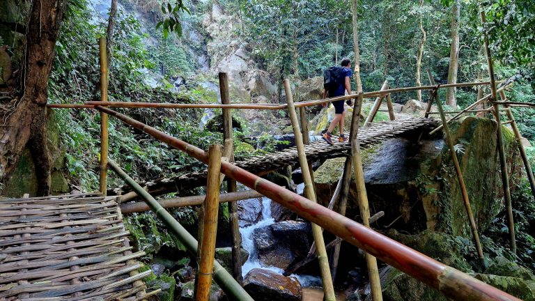
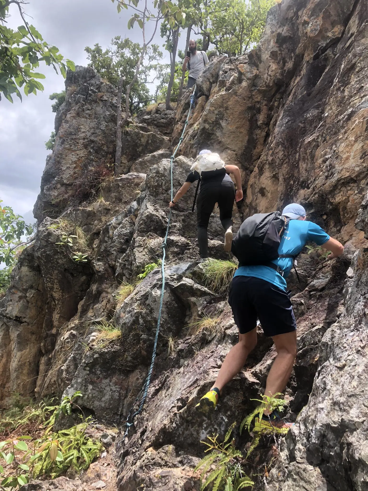
The trail surface varies between packed dirt, exposed tree roots, and rocky sections. As I climbed higher, the terrain became increasingly technical. Around the halfway point, the trail transitions from steep hiking to actual scrambling—I needed to use my hands to pull myself up over boulders and navigate near-vertical sections.
The Rope Section: This is where Doi Nang Mo earns its “Difficult” rating. Several passages require fixed ropes to safely ascend steep rock faces. I tested each rope before committing my weight, and while they held firm, the exposure and steepness demand full concentration. If you’re not comfortable with basic scrambling and using fixed ropes, this trail isn’t for you.
The forest around you is pristine and quiet—I encountered almost no other hikers on the ascent, making it feel like a true adventure rather than a tourist trail. The combination of steep gradient, technical sections, and heat makes this ascent genuinely exhausting. I took multiple breaks just to catch my breath and manage the relentless uphill grind.
The Summit: Doi Nang Mo & Ancient Volcano Crater

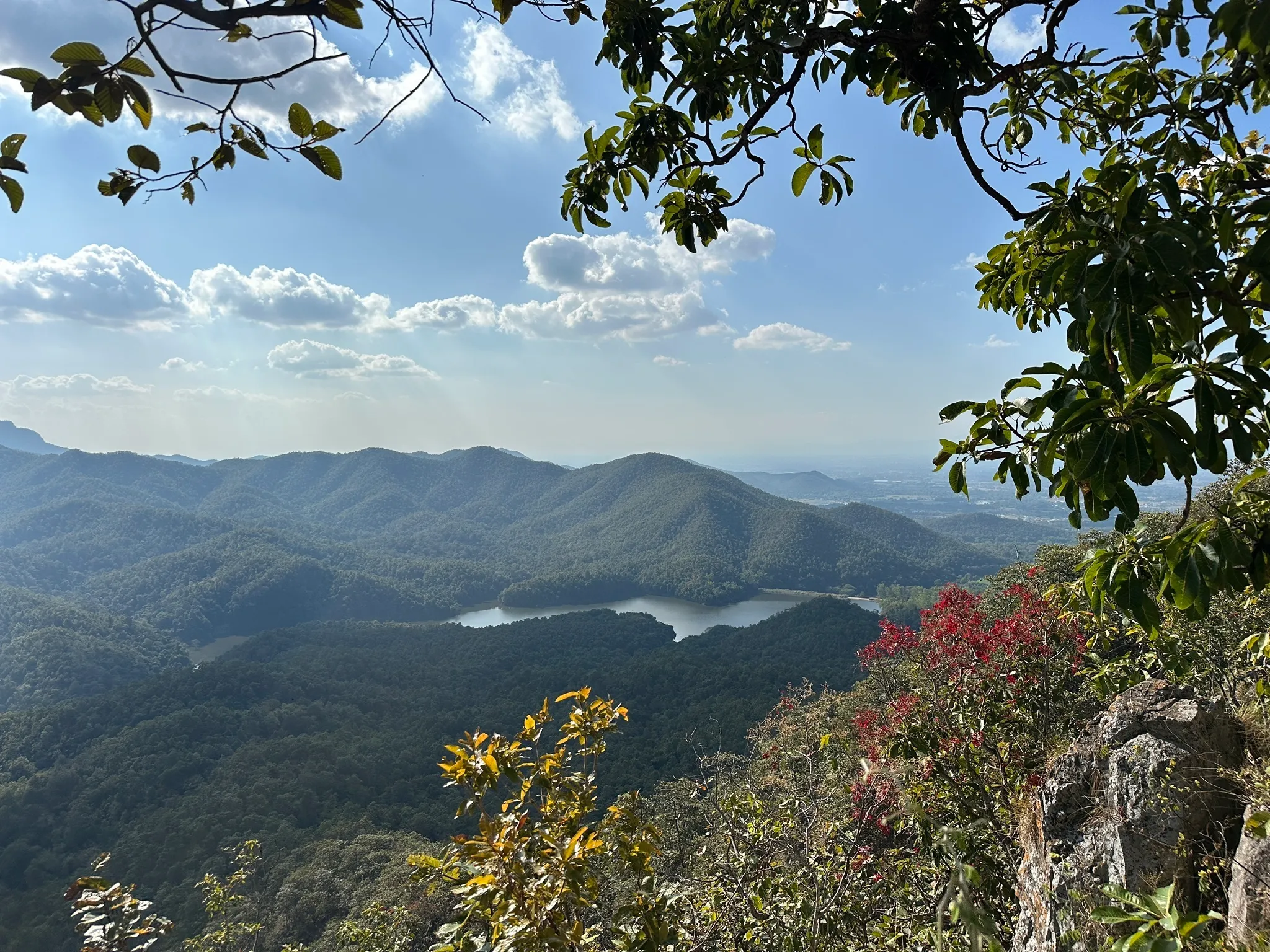
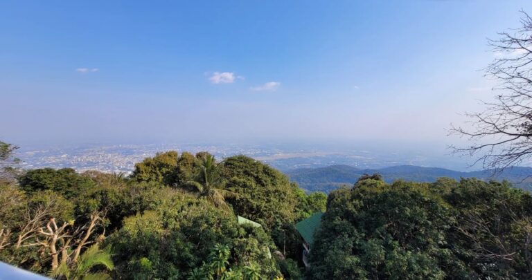
After nearly 2 hours of relentless climbing, the forest suddenly opens up at Doi Nang Mo’s 896-meter summit. The first thing I noticed was the view—spectacular panoramas across Mae Takhrai National Park, with Mae Pha Naen Reservoir visible far below, looking like a blue mirror nestled in green mountains.
But the summit’s main attraction is geological: an ancient volcano crater dating back millions of years. The crater isn’t dramatic like you might imagine—no deep pit or smoking caldera—but rather a collapsed depression with distinctive rock formations and sharp cliffs that reveal its volcanic origins. Standing at the edge, I could see how the summit plateau has this unusual circular shape, with the highest points forming a natural rim around the crater area.
Buddha Statues: Scattered around the summit are several Buddha statues placed here by local communities. These add a spiritual dimension to the geological wonder—a reminder that in Thailand, even remote mountain peaks serve as places of worship. I found the combination of ancient natural forces and human devotion particularly moving after the difficult climb.

The summit plateau offers multiple viewpoints where you can rest, hydrate, and appreciate the 360-degree mountain scenery. On clear days, the views extend across Northern Thailand’s endless forested ridges. I spent about 30 minutes here recovering before starting the descent—you’ll need the energy for what comes next.
The Descent: Rope Scrambles & Return
The descent from Doi Nang Mo follows a different route than the ascent, completing the loop back to Mae Pha Naen Reservoir. What goes up steep must come down steeper—and this descent section includes some of the trail’s most technical and exposed passages.
Shortly after leaving the summit, I encountered what local hikers apparently call “Suicide Ridge”—a narrow, rocky arête with significant drop-offs on both sides. The name isn’t just dramatic marketing; this section requires careful foot placement and a head for heights. Fixed ropes are installed along the most exposed parts, and I was genuinely grateful for them. One slip here would be serious.
The descent continues steeply through forest, with multiple rope-assisted sections where you’re essentially rappelling down near-vertical rock faces. I found the downhill actually more demanding than the climb up—my knees took a beating, and the constant need to control speed while navigating technical terrain requires sustained concentration. Trekking poles would have been helpful here, though the narrow trail and frequent hand-holds make them impractical for much of the route.
After approximately 3 kilometers of descent, the gradient finally eases as you approach the reservoir level. The final section follows the water’s edge back to the parking area, offering peaceful views after the intensity of the mountain sections. Total loop time was around 4 hours for me, though fitter hikers could complete it in 3.5 hours and slower paces might need 5+ hours.
Practical Tips for this Hike
Timing & Season:
- Best months: November-February (cool, dry, excellent visibility)
- Avoid: March-May (burning season—poor air quality, potential park closures)
- Start time: Begin before 7:00 AM to complete before afternoon heat peaks
What to Bring:
- Minimum 2 liters of water (no refills available)
- Proper hiking boots with ankle support and aggressive tread
- Gloves recommended for rope sections
- Sun protection (summit is exposed)
- Snacks/energy bars
- First aid kit
- Fully charged phone (signal is spotty but present at summit)
Physical Requirements:
- This is a DIFFICULT hike requiring good fitness and scrambling experience
- The rope sections demand upper body strength and comfort with exposure
- Steep terrain throughout—expect sore legs the next day
- Not suitable for beginners or those afraid of heights
Safety:
- Fixed ropes are generally well-maintained but always test before trusting
- Weather can change quickly—start early and watch for afternoon storms
- Tell someone your hiking plan and expected return time
- The trail sees few hikers—don’t count on help if you get injured
Getting to the Trailhead
Mae Pha Naen Reservoir sits approximately 30 kilometers east of Chiang Mai city center. There is no public transport to the trailhead—you’ll need private wheels to reach it.
By Scooter:
- Most popular option for independent travelers
- Journey time: 50-60 minutes from Chiang Mai Old City
- Road conditions: Paved all the way to reservoir
- Parking: Free at trailhead
By Rental Car:
- Ideal if traveling with a group or prefer four wheels
- Same route, same journey time
- Book via QEEQ for competitive rates
By Private Transport:
- Arrange pickup time (allow 4-5 hours for hike)ict, Chiang Mai 50200 (18.79793587044117, 98.9421338262989)
- Hire a songthaew or private taxi for drop-off and pickup
- Negotiate round-trip price in advance (expect 1,500-2,000 THB)
From Chiang Mai: Head east on Route 1001 toward San Kamphaeng, continue to Mae On district, follow signs to Mae Takhrai National Park and Mae Pha Naen Reservoir. The road is well-signed and straightforward. Navigate to Start Point.
Where to Stay in Chiang Mai
Chiang Mai is a vibrant city and the perfect base for trekking the mountains. Here are my personal recommendations:
The Inside House: This is one of the most spectacular hotels in the city centre. It is famous for its private suspended transparent swimming pools that jut out onto the balconies. A totally unique and ultra-photogenic immaculate white colonial design. 👉 Check availability
Burirattana Hotel: An adults-only boutique hotel located right on the street of the famous Sunday Night Market. Its “Minimalist Lanna” style, combining raw concrete, wood and local craftsmanship, is a marvel of modern design. 👉 Check availability
North Hill City Resort: If you’re looking for a futuristic, minimalist look, this hotel offers incredible modern architecture with panoramic views of the Doi Suthep mountains. It’s the perfect spot for those who love contemporary design. 👉 Check availability
Doze Hostel: One of backpackers’ favourite spots. It’s clean, modern and located near the North Gate (Chang Phuak), ideal for reaching hiking trails and enjoying the best street food. 👉 Check availability
Lanna Hostel: A must-see budget option. Known for its warm welcome and friendly atmosphere, it is the perfect base camp to meet other hikers before setting off on the Monk’s Trail. 👉 Check availability
Heritage & Local Flavors
You cannot hike Doi Nang Mo without appreciating Mae Takhrai National Park’s role in preserving Northern Thailand’s wild landscapes. While tourists flock to Doi Inthanon and Doi Suthep, Mae Takhrai remains refreshingly untouched—a 483 square kilometer protected area on Chiang Mai’s eastern frontier that prioritizes conservation over tourism infrastructure.
Mae Takhrai National Park was established to protect the watershed feeding into Chiang Mai’s water supply and to preserve habitat for wildlife including barking deer, wild boar, and over 200 bird species. The ancient volcano crater at Doi Nang Mo’s summit represents millions of years of geological history—a reminder that these mountains existed long before humans arrived to map and name them.
The Buddha statues scattered across the summit weren’t placed by park authorities but by local communities from surrounding villages. For generations, villagers have climbed this mountain to make offerings and seek blessings, treating Doi Nang Mo as a sacred peak long before it became known to the hiking community. I found this blend of natural wonder and local spirituality particularly moving—the volcano crater is both a geological curiosity and a place of worship.
Local Refueling:
After completing the loop, your options near Mae Pha Naen Reservoir are limited—this is rural Chiang Mai, not the tourist-friendly Old City. I drove back toward Mae On district where small roadside restaurants serve authentic Northern Thai food to locals. Don’t expect English menus or Instagram-worthy presentation; expect delicious, cheap food prepared the way Chiang Mai people actually eat.
The nearby town of San Kamphaeng (15 minutes west of the trailhead) is famous for traditional crafts—silk weaving, silverwork, and umbrella making. If you have energy after the hike, the craft village route makes an interesting cultural stop before returning to Chiang Mai city.
For more information on Mae Takhrai National Park and Eastern Chiang Mai’s attractions, visit the Department of National Parks or Tourism Authority of Thailand Chiang Mai Office.
Conclusion
Doi Nang Mo represents everything I love about hiking in Northern Thailand—challenging terrain, pristine wilderness, and the reward of discovering places that mass tourism hasn’t touched. This isn’t a hike you do casually; the 510-meter ascent, technical rope sections, and exposed ridges demand respect and proper preparation.
I completed this trail on a cool December morning and found it to be one of the most satisfying day hikes near Chiang Mai. The ancient volcano crater adds genuine geological interest beyond just “another mountain peak,” and the lack of crowds means you experience the forest and summit in genuine solitude. That said, the difficulty is real—if you’re looking for an easier introduction to Chiang Mai hiking, start with the Monk’s Trail or Khun Korn Waterfall before attempting Doi Nang Mo.
Is this hike for you?
✅ If you have previous hiking experience and good fitness
✅ If you’re comfortable with heights and rope scrambling
✅ If you want a genuine challenge away from tourist trails
✅ If you’re visiting during cool season (November-February)
❌ If you’re a beginner hiker (try easier trails first)
❌ If you have knee problems (the descent is brutal)
❌ If you’re visiting during burning season (March-May)
Happy Hiking!
Plan your trip to Chiang Mai
Need to book your bus from Bangkok or a ferry? Check all schedules and prices on 12Go.asia. For more details on transportation, weather, and the best local eats, check out my Full Chiang Mai Travel Guide →