The Ultimate Guide to Independant Hiking in Thailand
Verified GPX tracks and expert trail reports for self-guided adventurers. Get all the maps, logistics, and local tips to plan your own journey.
Explore by Terrain
Latest Trail Guides
Freshly scouted routes with updated GPX tracks and logistics.
-
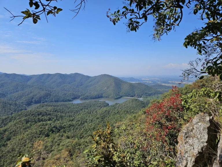
Doi Nang Mo Summit Hike: 7.9km Volcano Crater Trail Near Chiang Mai
7.9 km | 🔴 Difficult — Mae Takhrai’s most challenging adventure. I climbed 510m through steep forest to Doi Nang Mo’s 896m summit, discovered an ancient volcano crater with Buddha statues, scrambled down rope sections, and earned spectacular reservoir views. A true test 30km east of Chiang Mai.
-
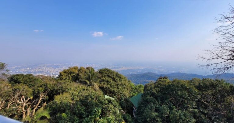
Monk’s Trail Loop: 10.6km Sacred Hike Through Chiang Mai’s Mountains
10.6 km | 🟡 Moderate — The legendary Monk’s Trail reimagined as a full loop. I climbed through jungle to the hidden Wat Pha Lat temple, summited at Doi Suthep’s golden chedi with panoramic city views, then descended via waterfalls through Doi Suthep-Pui National Park. Ancient pilgrimage meets modern adventure.
-
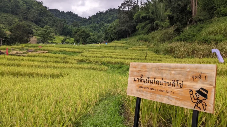
Ban Li Khai Rice Terraces Hike: 18km Loop Through Northern Thailand’s Highlands
18.0 km | 🔴 Challenging — One of Chiang Rai’s most rewarding challenges. I climbed through Lahu villages and spectacular rice terraces, discovered two hidden waterfalls, summited at 1,170m, then descended the opposite ridge through dense jungle. A true mountain adventure far from the tourist trail.
-
Huai Kaeo Waterfall Hike: 12km Akha Loop near Chiang Rai
12.1 km | 🟠 Moderate — Discover the hidden side of Chiang Rai with this loop through the Lam Nam Kok National Park. I loved the challenge of climbing through Akha territory to reach the powerful Huai Kaeo Waterfall before finishing the trek along the peaceful banks of the Kok River.
-
Khun Korn Waterfall Hike: Chiang Rai’s Hidden 70m Giant
3.2 km | 🟢 Easy — Standing at 70 meters tall, Khun Korn is the most impressive waterfall in the Chiang Rai province. I loved this short hike through giant bamboo forests that leads to a refreshing natural pool at the foot of the falls.
-
Ko Samet Nature Trail: 8km Hike Through Island Paradise
8.2 km | 🟡 Moderate — I discovered this hidden loop that combines lush jungle trails with white-sand beaches. A perfect day-hike to explore the wild side of Ko Samet, from 360-degree viewpoints to secret snorkeling spots.
4.5 Months On Ground
Every trail and guide is the result of nearly 5 months of continuous exploration across the Kingdom’s diverse provinces.
Verified GPS Tracks
Never get lost. All our routes are personally recorded and available as GPX files on RandoGPX for precision navigation.
Terrain-Specific Data
Detailed reports on jungle density, mountain elevation, and urban accessibility for each of our 4 terrain types.
Local Logistics
Practical advice on where to stay and how to get there, focused on keeping you close to the best trailheads.
Travel Guides
Beyond the trails: Logistics, local life, and where to stay for your next adventure.



SHARE YOUR DISCOVERY
Found a trail we missed? Help the community and share your discovery