Ban Li Khai Rice Terraces Hike: 18km Loop Through Northern Thailand’s Highlands
Looking for a hike that showcases Northern Thailand’s agricultural heritage alongside raw mountain beauty? Located about 25km southwest of Chiang Rai, the Ban Li Khai Rice Terraces offer one of the most rewarding loops in the region—a demanding 18-kilometer journey that climbs to 1,170 meters.
This trail starts in the peaceful valley near Nang Lae Nai Waterfall and takes you deep into Lahu hill tribe territory. Along the way, you’ll pass through traditional farming villages, witness some of the most spectacular terraced rice fields in Thailand, discover two hidden waterfalls, and summit the highest peak in the area. Between the agricultural landscapes and the dense jungle sections, this hike is a concentrated dose of everything that makes trekking in Chiang Rai unforgettable.
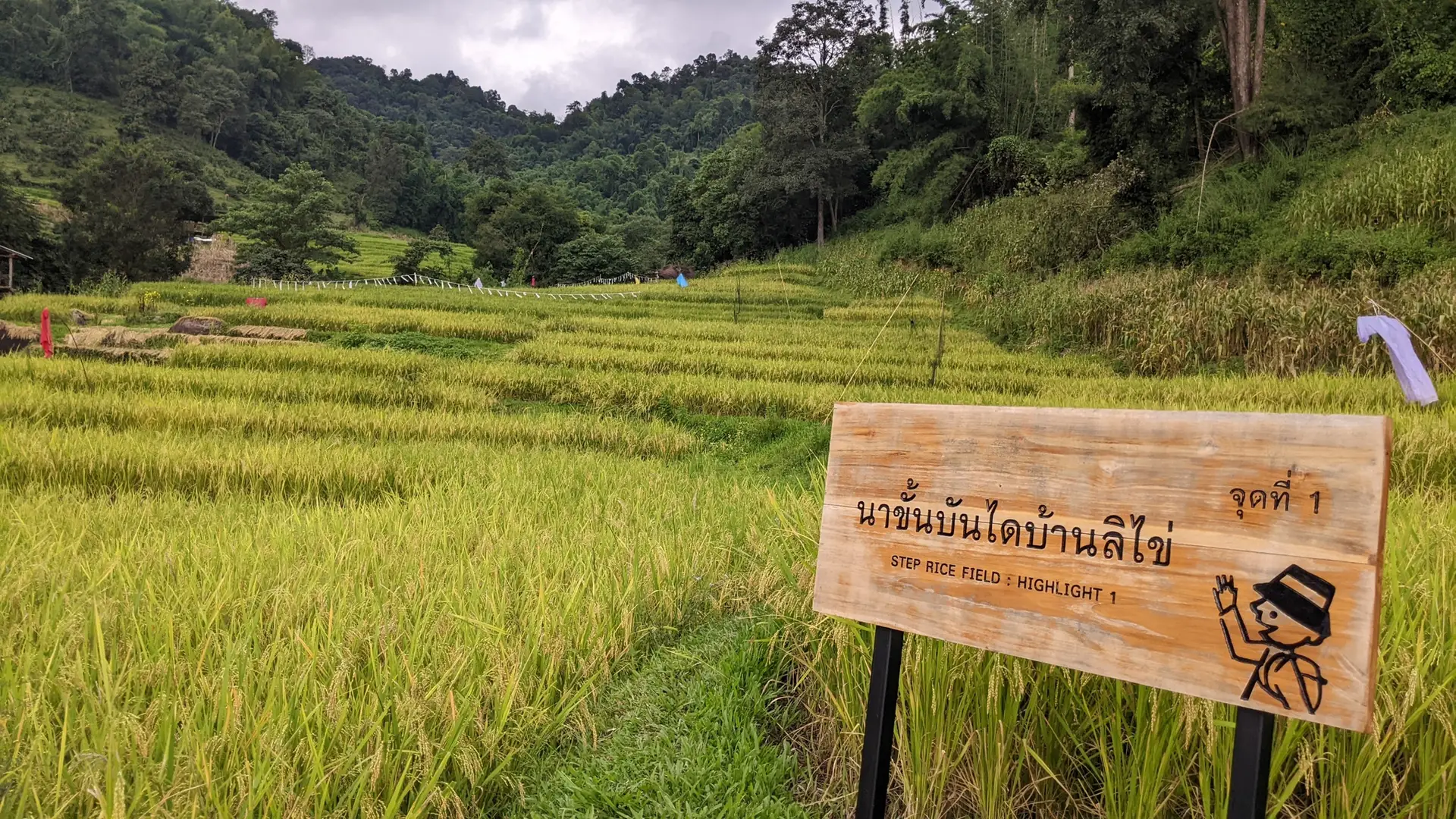
The Ban Li Khai Rice Terraces were developed by the Lahu hill tribe, who migrated from Yunnan and Burma centuries ago. Their ingenious terracing techniques have transformed these steep mountain slopes into productive farmland, creating a landscape that’s both functional and breathtakingly beautiful—especially during the rainy season (July-October) when the fields are lush green.
Technical Specs
📏 Distance : 18 km
📈 Elevation Gain : 840 m
🏔️ Max Altitude : 1170 m
📉 Min Altitude : 420 m
⏱️ Duration : 6:00
Practical Info
📊 Difficulty : 🔴 Challenging
⭐ Scenery Rating : 4 / ⭐⭐⭐⭐ (Beautiful) / 5
📍 Nearby Town : Ban Du / Nang Lae
This is the main hub and the starting area for this trail.
Interactive Trail Map & Elevation
THE BAN LI KHAI VALLEY & STARTING POINT
Before hitting the trail, it’s worth understanding the unique cultural context of Ban Li Khai. This remote valley is home to the Lahu hill tribe, one of Thailand’s ethnic minority groups who number about 60,000 across Chiang Mai and Chiang Rai provinces. The Lahu are known for their agricultural ingenuity and have developed these spectacular rice terraces over generations.
The starting point of this loop is near the Nang Lae Nai Waterfall parking area. This small waterfall serves as a popular local swimming spot and provides basic facilities before you begin the challenging ascent.
Logistics & Parking:
- Parking: Free parking area near the dirt road that leads to Nang Lae Nai Waterfall
- Facilities: Basic restrooms at the waterfall (5-minute walk from parking)
- Best Season: July-October for green rice fields; late October-November for golden harvest season
- Water: No shops on trail—carry minimum 2 liters
The Ascent:
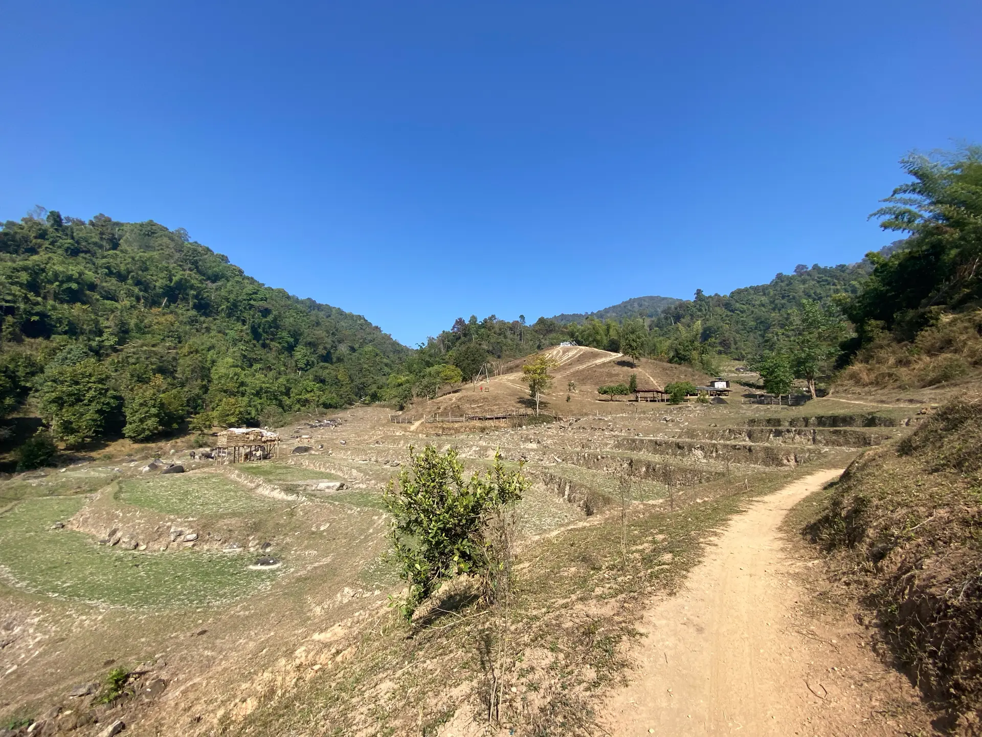
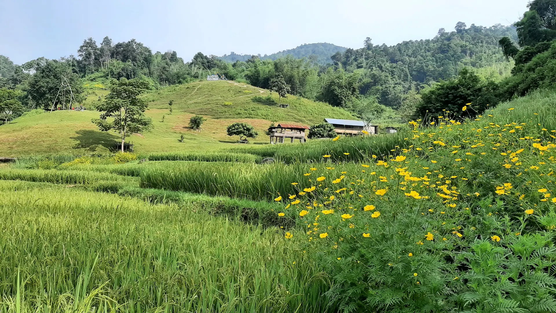
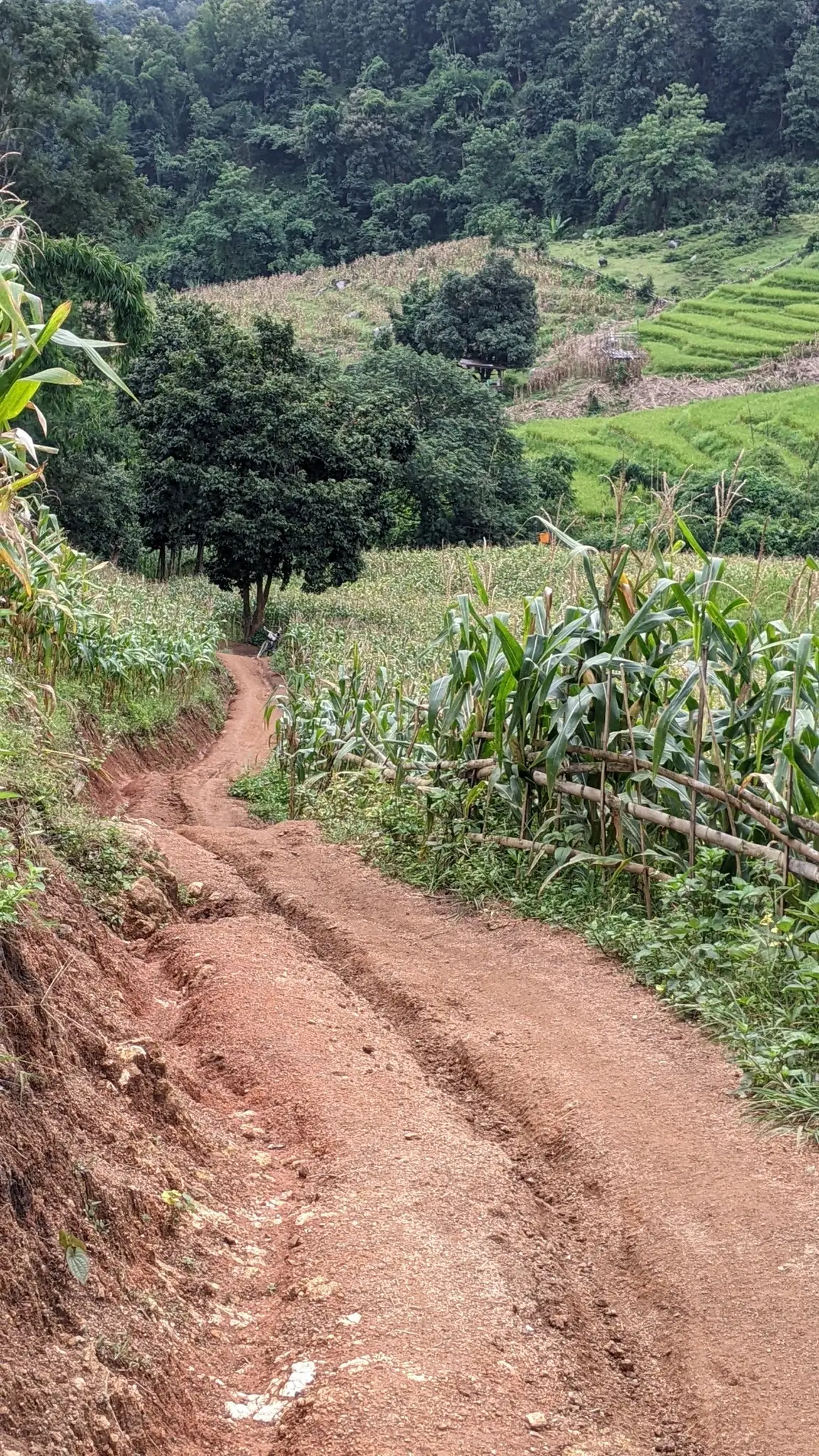
Through Rural Countryside The first 3 kilometers set the tone for the day’s adventure. As I left the parking area, the trail immediately began climbing along a dirt road used by local farmers. This initial section passes through rural countryside where you’ll see local life in action—farmers tending their crops, cattle grazing in the fields, and traditional Lahu houses dotting the hillsides.
The atmosphere is incredibly peaceful here. Unlike the more touristy areas of Chiang Rai, this valley remains authentically agricultural. I highly recommend taking your time through this section to appreciate the simplicity of mountain village life before the trail gets more demanding.
Km 3.7 – First Major Landmark: Around the 3.69km mark, you’ll reach your first highlight: Cows in the Countryside. This is exactly what it sounds like—a scenic pastoral area where local cattle graze against the backdrop of the rising mountains. It’s a perfect photo opportunity and a good place to catch your breath before the real climbing begins.
Rice Terrace Viewpoint 1:
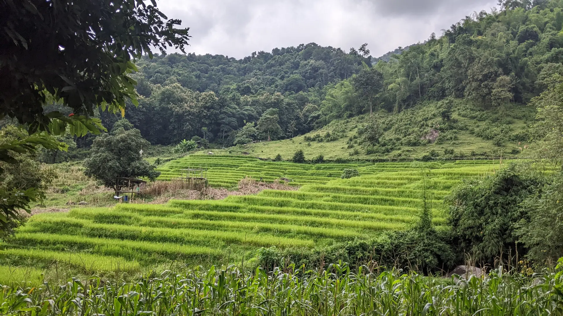
First Glimpse of Lahu Agriculture Shortly after the cow fields, around Km 4.15, you’ll reach the first Rice Terrace Viewpoint. This is where the trail rewards your effort with the first spectacular panorama of the Ban Li Khai terraces.
What makes these terraces special:
- Built by the Lahu hill tribe using centuries-old techniques
- Cascade down the mountainside in perfectly sculpted tiers
- During rainy season, the water-filled terraces create mirror reflections
- Each terrace is connected by an intricate irrigation system
- Agricultural testament to the Lahu people’s ingenuity in mountain farming
According to local sources and the Tourism Authority of Thailand, these terraces are considered some of the most photogenic in Northern Thailand. The best time to visit is September when the rice is fully grown but still green. By late October, the fields turn golden before harvest.
I recommend spending at least 15-20 minutes here. There’s even a photo bench that locals have placed at the edge of one terrace—a perfect Instagram spot, but more importantly, a chance to truly appreciate the landscape.
THE WATERFALLS
The Waterfalls: Nang Lae & The Hidden Cascade
After leaving the first rice terrace viewpoint, the trail continues climbing through increasingly dense vegetation. Around Km 4.23, you’ll reach the Camping Nature de la Cascade Nang Lae (Nang Lae Waterfall Camping Area).
Nang Lae Nai Waterfall (Km 4.23)
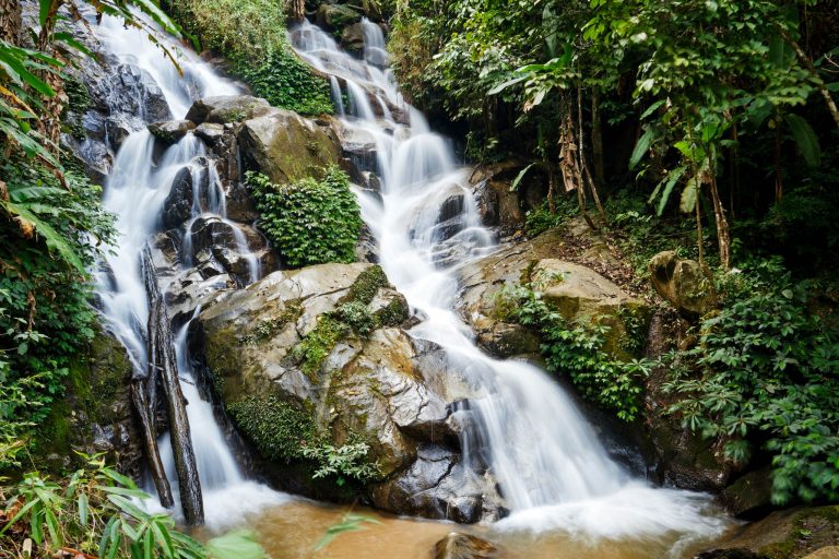
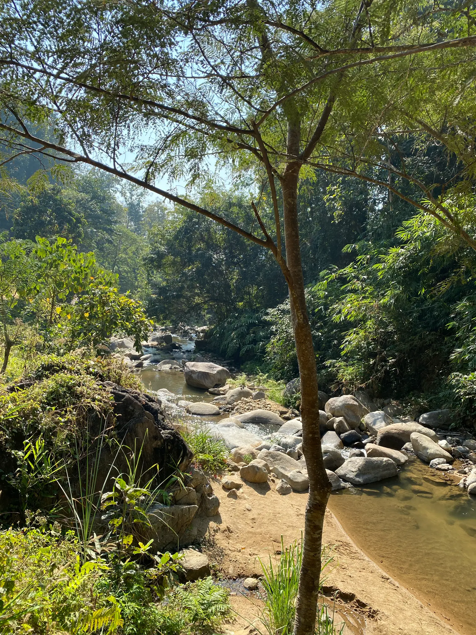
Nang Lae Nai Waterfall is a modest but refreshing cascade tucked into the jungle. According to TripAdvisor reviews, it’s “more of a pool with falling water than an actual fall,” but it serves its purpose perfectly as a rest stop. The water is clean and swimmable, making it an ideal place to cool off before tackling the steeper sections ahead.
Key features:
- Natural swimming pool at the base
- Rocks can be extremely slippery—exercise caution
- Water depth: approximately 4-5 feet
- Peaceful atmosphere, rarely crowded
- Restroom facilities nearby
The Second Waterfall (Km 5.00)
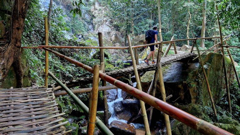
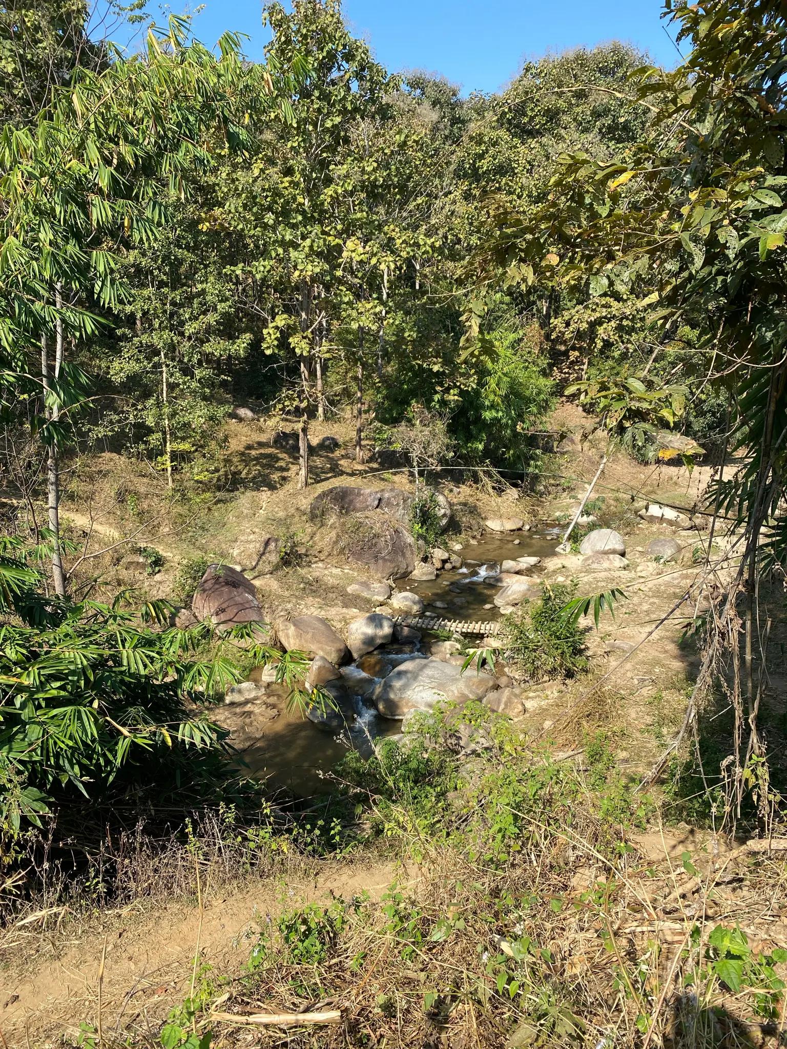
Approximately 800 meters further up the trail, you’ll encounter a second, more hidden cascade. According to the Komoot data, reaching this waterfall requires navigating some challenging terrain—the last 200 meters don’t have a clear trail, and the final 100 meters involve scrambling over rocks in the riverbed.
I found this section to be the most technically demanding part of the hike. The waterfall itself is smaller than Nang Lae but offers a more adventurous, off-the-beaten-path experience. The mist and the sound of rushing water create a mystical atmosphere deep in the jungle.
Important notes:
- Bring proper hiking shoes with good grip
- The rocks are moss-covered and slippery
- Consider skipping this detour if you’re concerned about difficulty
- Swimming is possible but exercise extreme caution
THE SUMMIT
After the waterfall detours, the trail enters its most challenging phase. From around Km 6 onwards, you’re committed to a steady, relentless climb toward the summit at 1,170 meters.
This section transitions from the agricultural landscapes into dense mountain forest. The path becomes a mix of natural surfaces, packed dirt, and in some places, concrete sections that locals have paved for access to higher elevation fields. The humidity in the jungle makes the +840m total elevation gain feel like a genuine workout.
What to expect:
- Steeper gradient than earlier sections
- Less scenic views (dense canopy)
- Cooler temperatures due to forest shade
- Occasional glimpses of valleys below through tree gaps
- Sound of birds and jungle insects
Around Km 9-10, you’ll reach the highest point of the loop at 1,170 meters. While there isn’t a dramatic 360° viewpoint at the exact summit (too much vegetation), you’ll have earned the satisfaction of conquering one of the more challenging peaks accessible from Chiang Rai.
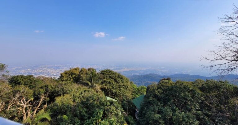
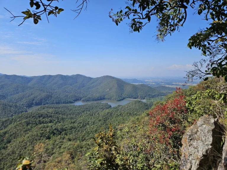
On clear days, you can catch glimpses of the surrounding mountains and valleys through breaks in the forest. More importantly, you’ll have the trail almost entirely to yourself up here—this remote section sees very few hikers compared to more famous spots like Doi Inthanon.
THE DESCENT
After the summit, the trail begins its long descent back to the valley—but unlike many loop hikes, you won’t be retracing your steps. Instead, the route follows the eastern ridge, offering a completely different experience from the ascent.
I found this section to be the quietest and most solitary part of the entire hike. The descent is approximately 8-9 kilometers of steady downhill through dense jungle. There are no rice terraces on this side, no panoramic viewpoints, just the raw forest and the sound of your footsteps on the trail.
The path surface varies between natural dirt, exposed roots, and occasional rocky sections. After nearly 4 hours of hiking, my legs definitely felt the impact of the continuous descent. I recommend using trekking poles if you have them—the sustained downhill can be tough on the knees.
What makes this section memorable isn’t dramatic scenery, but rather the meditative rhythm of the jungle. The canopy is thick overhead, keeping you cool but also limiting views. You’re fully immersed in the forest ecosystem here—birds calling above, insects buzzing, and the occasional rustle of wildlife in the underbrush.
The final 2 kilometers gradually open up as you approach the valley floor, eventually rejoining the dirt road near the parking area where you started. After 18 kilometers and 840 meters of elevation, seeing that parking area again is genuinely satisfying.
Practical Tips for this Hike
Timing & Season:
- Best months: July-October (rainy season) for lush green terraces
- Golden harvest: Late October to early November
- Avoid: Hot season (March-May) due to extreme heat
- Start time: Aim to begin before 8:00 AM to avoid midday heat
Getting to the Trailhead
The Ban Li Khai Rice Terraces trailhead is located about 25-30km southwest of Chiang Rai city. Access requires reliable transportation:
Rent a Scooter (Recommended):
- I rented mine at Nice Rental in Chiang Rai city center
- Cost: approximately 200-300 THB/day
- Journey time: 45-50 minutes from city
- Road conditions: Paved until Ban Du village, then dirt road for final 2km
- Parking: Free parking area near Nang Lae Nai Waterfall
Private Taxi/Songthaew:
- Hire from Chiang Rai Night Bazaar or main bus station
- Negotiate ROUND TRIP price (essential—no taxis wait at trailhead)
- Expected cost: 1,500-2,000 THB for round trip with waiting time
- Not ideal due to 6-hour hike duration
Where to Stay in Chiang Rai
Chiang Rai is a peaceful city and the perfect base for your explorations. Here are my personal recommendations:
- MORA Boutique Hotel: For a touch of luxury in the city center. The rooftop pool is perfect after a day of hiking. 👉 Check availability
- The Legend Chiang Rai: A beautiful riverside resort with traditional Lanna architecture. It feels like a tropical sanctuary. 👉 Check availability
- Tourist Inn: This is where I stayed. It’s budget-friendly, clean, and there is a great motorbike rental right next door. 👉 Check availability
- Riva Vista Riverfront: A very modern and photogenic resort right on the river bank. 👉 Check availability
Heritage & Local Flavors
You cannot leave the Ban Li Khai area without appreciating the rich Lahu heritage that makes this landscape possible. The Lahu people are one of Thailand’s most independent and diverse ethnic groups, numbering about 60,000 across Northern Thailand.
The Lahu (also called “Muser” in Burmese, meaning “hunter”) migrated from Tibet and Yunnan province in China during the 19th and early 20th centuries. They’re known for:
- Superior hunting skills (historically their primary livelihood)
- Terraced rice agriculture on steep mountain slopes
- Traditional polytheistic animism mixed with Buddhism
- Distinctive clothing: women wear black and red jackets, men wear baggy blue or green pants
- Strong community solidarity and independence
The rice terraces you’ve been admiring throughout this hike are the product of generations of Lahu agricultural knowledge. According to the Tourism Authority of Thailand, the Ban Li Khai terraces are a testament to the Lahu tribe’s ingenuity in developing sustainable farming on challenging mountain terrain.
Local Refueling: After the hike, you’ll find small local shops back near the parking area where you can grab cold drinks and snacks. Supporting these family-run businesses directly benefits the Lahu community that maintains these trails.
For more information on Chiang Rai’s cultural attractions and hill tribes, visit the Tourism Authority of Thailand Chiang Rai Office.
Conclusion
The Ban Li Khai Rice Terraces loop is without doubt one of the most rewarding—and most demanding—hikes in the Chiang Rai region. Unlike shorter trails, this 18-kilometer journey offers a deep immersion into both the agricultural heritage of the Lahu people and the raw beauty of Northern Thailand’s mountains.
From the mirror-like terraced fields to the hidden jungle waterfalls, from pastoral cattle scenes to the challenging 1,170-meter summit, this trail captures a side of Thailand that few tourists ever experience. It’s a hike that demands respect—proper preparation, good fitness, and appropriate timing—but rewards you with landscapes and cultural encounters you simply won’t find on the typical tourist circuit.
Is this hike for you?
✅ If you have previous hiking experience and good fitness
✅ If you want to see authentic Lahu culture and agriculture
✅ If you’re visiting during rainy season (July-October) for green terraces
✅ If you’re comfortable with 6 hours of challenging trekking
❌ If you’re a beginner hiker (try Khun Korn Waterfall instead)
❌ If you’re visiting in hot season without heat tolerance
If you’re a beginner hiker, try Khun Korn Waterfall or Huai Kaeo instead, both around Chiang Rai.
If you still have energy on your way back to the city, consider stopping by the White Temple (Wat Rong Khun) or the Blue Temple (Wat Rong Seur Ten) to round out your day with some of Chiang Rai’s iconic culture!
Happy Hiking!
Plan your trip to Chiang Rai
Need to book your bus from Bangkok or a ferry? Check all schedules and prices on 12Go.asia. For more details on transportation, weather, and the best local eats, check out my Full Chiang Rai Travel Guide →